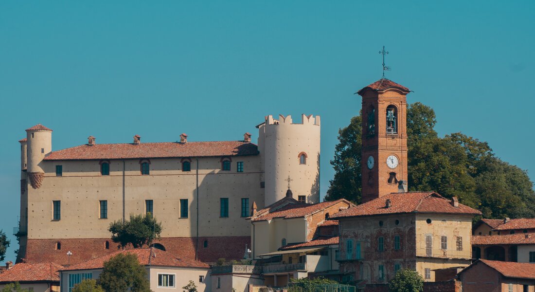
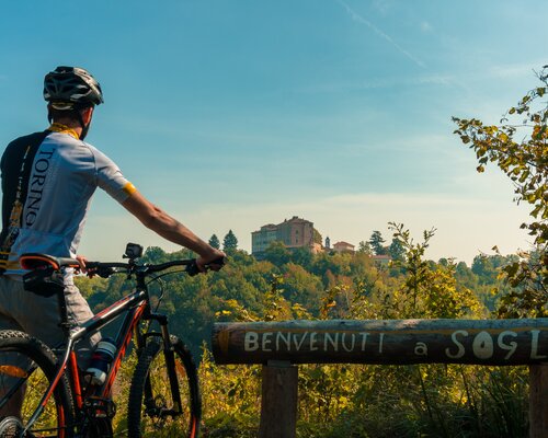
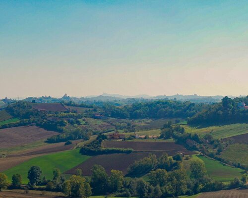
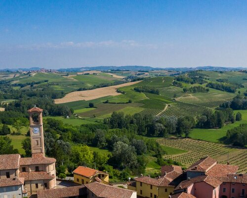
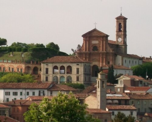
The point of departure of this leg is located at the square placed in the inhabited area of Soglio. From here, go past the castle, and go up Strada Provinciale 12 towards Camerano Casasco. Go straight ahead for about 1 km until you reach the dirt road on the left side. Take it and pass through the woods for about 500 metres.
When you are out of the woods, on the left there is a street called Via Soglio that goes to Cortanze. Go down the street for about 900 metres until you come to an intersection. At the intersection, turn left into Strada Provinciale 458 and go straight ahead for a short stretch. After about 30 metres, turn right into Via Sabbione and go down for 250 metres until you reach a large intersection in which you take the first street on the left called Via Piea. Go up Via Piea for 400 metres until it intersects with Via Marchesi Roero di Cortanze. Go up Via Marchesi di Cortanze for about 150 metres, until you reach an intersection again.
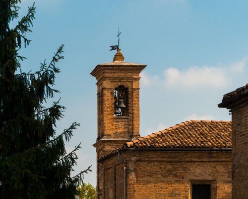
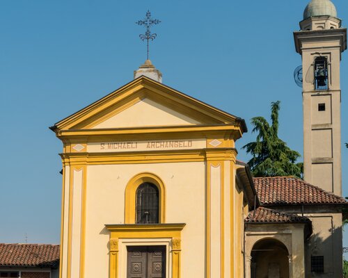
At the intersection, turn left. After 40 metres, keeping the right, take Via Montechiaro. Follow the road, which becomes dirt, for 1,5 km until you see the chapel of Saint Sebastian on the left. When you get to the intersection in front of the chapel go down Via San Sebastiano keeping the right.
After 200 metres you reach the intersection placed nearby the pillar of St Antonio Abate. Go past the pillar, follow Vicolo Morelli which passes through Montechiaro d’Asti for 300 metres. When you come up to the stop sign, take Via Mairano. The route continues along Strada Provinciale 2, which becomes dirt and passes through farmlands for 2 km. Then turn right and pass through the woods for 200 metres. After that, the route intersects with Strada Provinciale 82. Keep going down this road standing on the right for about 900 metres.
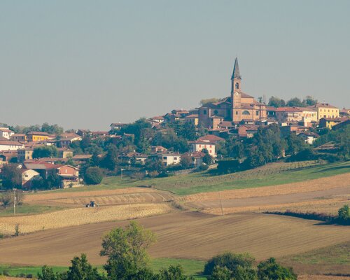
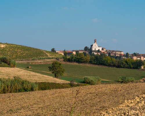
Once you are close to a big block of houses, keep the left alongside the farmlands for about 1 km and get to Corsione. The town of Corsione has a spiral shape on a backbone system typical of the Medieval period. This town is placed over the ridge that divides Valle Versa from Val Rilate.
PLEASE NOTE: Responsibility for the maintenance and practicability of the various trails lies with the municipalities where the routes are located. The Tourist Board, therefore, cannot be held responsible for any inefficiencies, but is willingly available to collect your reports so that they can be forwarded to the authorities concerned.
