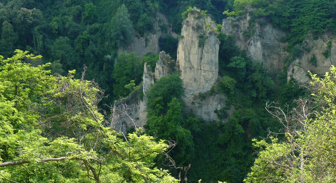
These hills are fairly recent geologically speaking and their development and subsequent erosion have produced the landscape we admire today. The ‘Rocche’ are products of that erosion: these are steep-sided cliffs and gulleys full of twists and turns, natural turrets and towers and sheer rock faces. The single, extraordinary natural event that has most influenced their formation is the so-called ‘capture of the Tanaro river’, with its subsequent effects on the local water table. The flora of the area is also singular, with the coexistence of both typically Mediterranean and Alpine species.
You now leave Sommariva and head for Baldissero d’Alba, once part of the feudal territories in the Asti area belonging to the Saluzzo Marquisate. Next on the list is Montaldo Roero, with a cylindrical medieval tower dominating the two parts of the area, neatly divided on the one side into wild ‘Rocche’ and woodland and, on the other, hills of immaculately cultivated vines. You will pass through these vineyards to reach Monteu Roero, where- naturally enough – some excellent wines are produced, and then on to Montà, where the Ecomuseum of the ‘Rocche’ is situated – where you can learn all about their geology. When you start to see peach orchards among the vineyards, you know you’re nearing Canale, which every year holds a Peach Festival in honor of the fruit. You walk along a winding road past many ‘ciabot’ – little buildings similar to stone cottages that were once used to store agricultural implements – until you come to Cisterna d’Asti, the final destination of this route. Here, the hills are literally covered in vineyards and, after a visit to the local Museum of Traditional Crafts, situated in the town’s castle – we advise a well-earned rest to sample some local food and wonderful wine.
- Leg 1 Bra - Monteu Roero
- Leg 2 Monteu Roero - Cisterna d'Asti
PLEASE NOTE: Responsibility for the maintenance and practicability of the various trails lies with the municipalities where the routes are located. The Tourist Board, therefore, cannot be held responsible for any inefficiencies, but is willingly available to collect your reports so that they can be forwarded to the authorities concerned.


