")
")

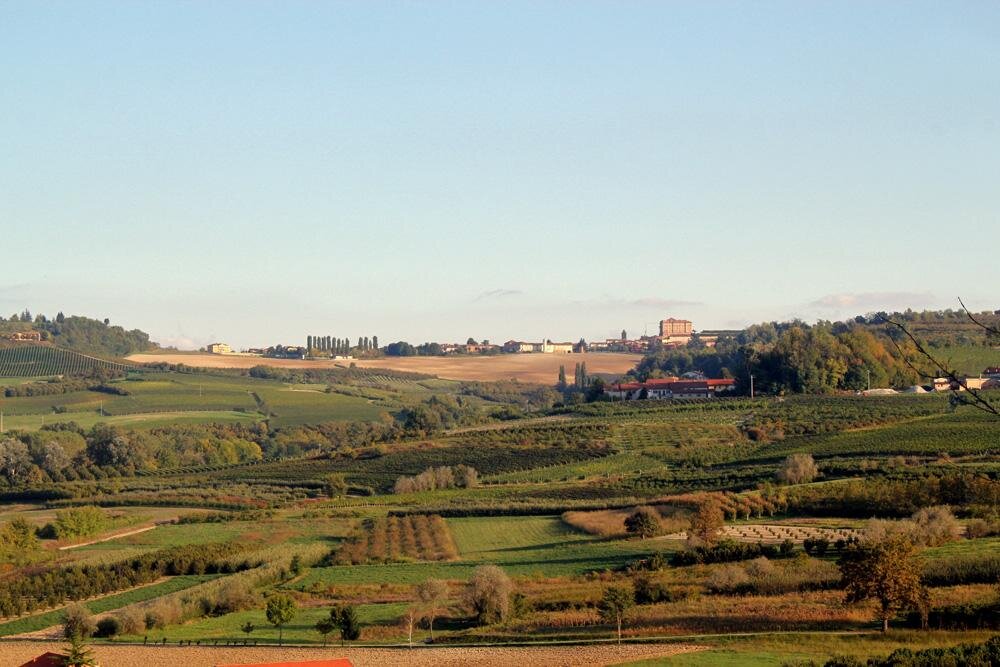
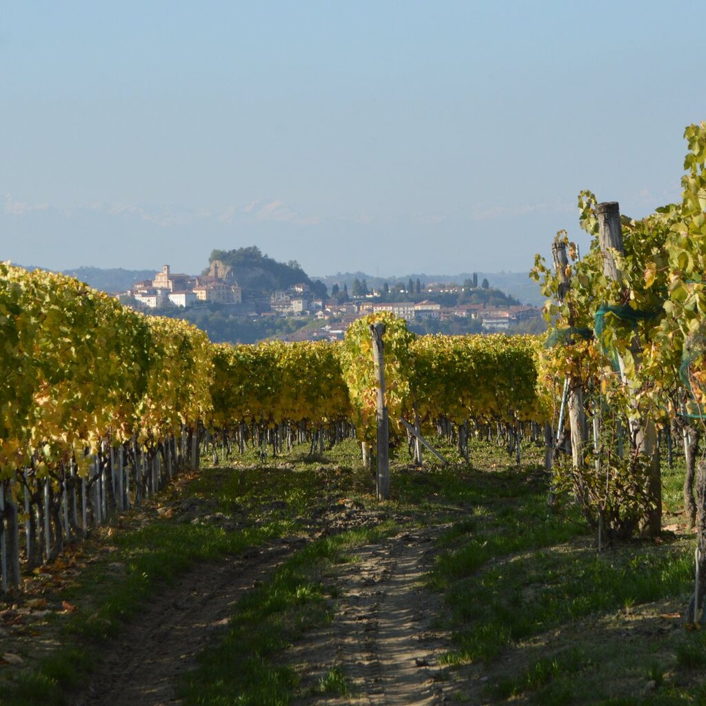
The Madernassa Pear Path (8 km) is an easy, panoramic trail that winds through cultivated countryside, vineyards, and hazelnut groves. It passes through the ancient hamlet that gave its name to the crisp Madernassa pear, a local variety.


To enjoy the audio guide with an integrated GPX track, you can download the free Izi.Travel app on your smartphone and enable geolocation. This will trigger automatic narration at specific points of interest, sharing local stories and interesting facts. The audio guide is also available for preview via browser:
AUDIO GUIDE The Madernassa Pear Path
The Madernassa Pear Path begins in the hamlet of Borbore of Vezza d’Alba, starting from the Banca d'Alba plaza located near a large roundabout. The route leaves the town center, initially heading toward Castagnito before turning onto a flat trail that runs alongside a small stream. From here, the path begins a gentle ascent through hazelnut groves and rows of vines that blanket the hillsides.
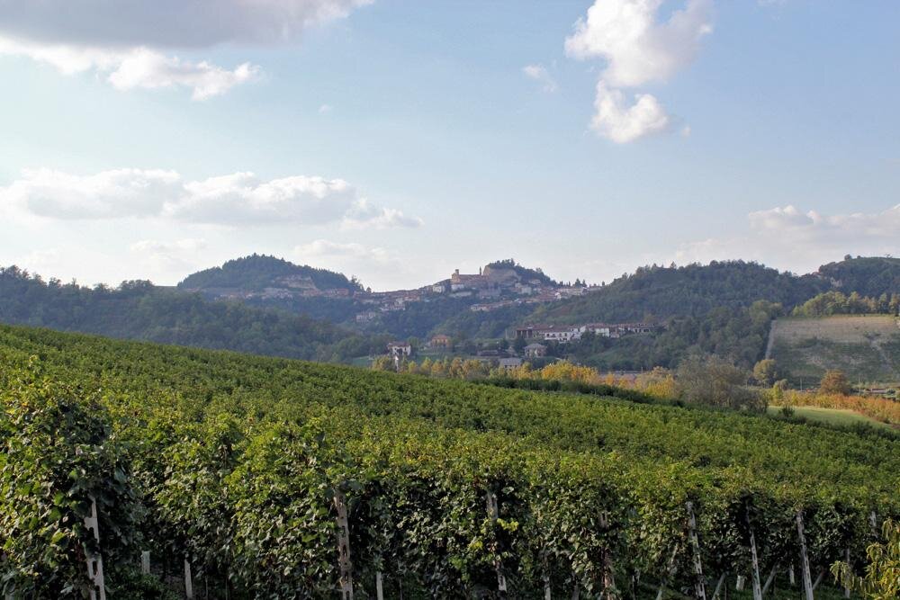
After passing a riding stable, the walk continues along a scenic ridge dominated by vineyards, later descending toward the valley floor until it reaches "Lake of Guarene," a private basin dedicated to sport fishing. Following a brief uphill stretch through a small wood and a short section along the provincial road, you will reach the San Bernardo votive pillar. Here, the trail returns to a dirt path, offering new views of the vineyard ridges typical of the Roero landscape.
The heart of the route is reached upon entering the villages of Socco and Madernassa. This hamlet is of great historical importance: it is the birthplace of the famous pear variety that gives the path its name. Furthermore, this same district hosted the first experimental peach orchards which revolutionized the local agricultural economy at the beginning of the 20th century.
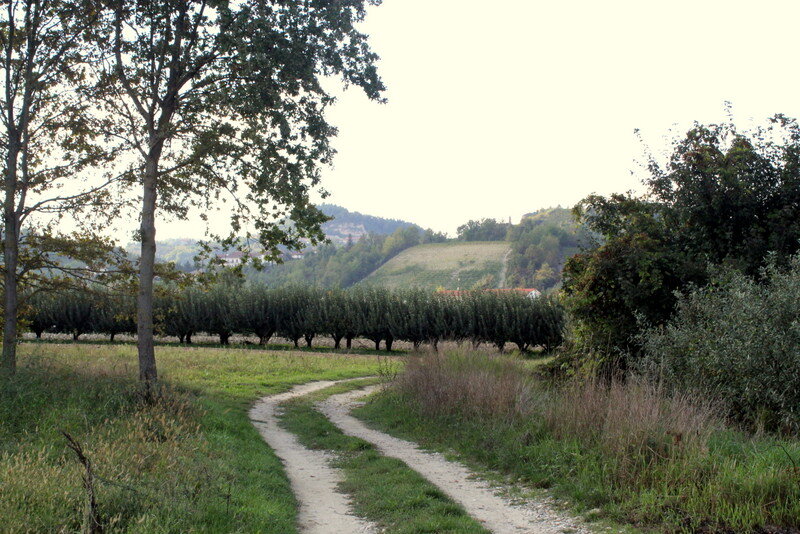
The final leg of the itinerary, after passing the Church of San Martino, winds downhill through valleys cultivated with hazelnuts and grapes, leading hikers comfortably back to the starting point in Borbore.
ITINERARY
- length: 8 km
- who it’s for: Children aged 6 and up. Not suitable for strollers (hiking baby carriers are recommended for toddlers).
- best time to visit: Spring, autumn, and winters with little snow.
SAFETY
The trail is marked with directional signs: please follow the path in the indicated direction. We recommend checking the weather forecast and visiting the Ecomuseo website or contacting their offices in advance to confirm the trail's current accessibility and conditions.
PLEASE NOTE: Responsibility for the maintenance and practicability of the various trails lies with the municipalities where the routes are located. The Tourist Board, therefore, cannot be held responsible for any inefficiencies, but is willingly available to collect your reports so that they can be forwarded to the authorities concerned.