From Piazza del Municipio, overlooked by the parish church, you go down onto the main asphalt road and follow it, always downhill, past a sharp bend where there is another car park.
Continue downhill until you reach the junction with a larger road, the SP12. Follow it to the left ("Baldichieri" blue sign), please ignore the different junctions and stay on this one as you walk by the votive shrine dedicated to San Rocco as well as the first hazelnut educational signs featuring an in-depth study of pastries and oil (If the season is favourable it is possible to skip the asphalt road and walk on the nearby meadow to the right).
- suitable for: children aged 6 or above, not suited to strollers ( younger kids should be carried in a backpack)
- elevation gain: +150 metres overall
- distance: 6 km overall
- estimated time: 2 hours
- route type: loop on asphalt, dirt road, footpath, grassy track
- starting altitude: 180 metres
- maximum altitude: 250 metres
- when: all year round in absence of snow
Continue in the same direction until you get to the first junction on the right (direction "Valporino") over a small bridge and reach the hazelnut defects board. You always stay on the asphalt and walk through a bucolic and relaxing valley and past the board on the harvesting, cleaning and drying of the fruit as well as on the pruning of the plant. The asphalt ends and turns into a dirt road which begins to climb sharply, first among the trees and then on pastures and open fields.
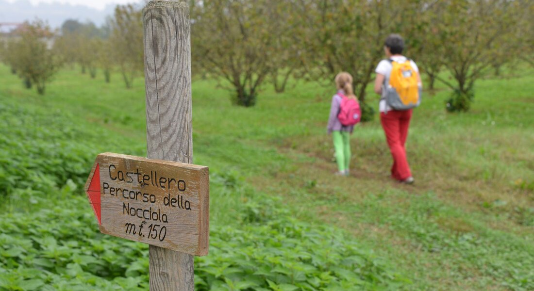
Once you reach a nice hazelnut grove follow the grassy track that runs alongside it and keep it to your right. Please bear in mind that you should not follow the reddish-white signs, but rather the wooden signs backwards. This way you will walk along a beautiful stretch on the ridge, very pleasant indeed. A sharp bend to the right will lead you towards the Bricco Trombetta houses and take you on the asphalt, follow it to the left until you get to the fertilisation and soil management sign. Here the path bends sharply to the right along the dirt road until it reaches a house and the hazelnut plant sign. You walk along the back of the house entering a thick wooded area and reach the sign on the interaction between the hazelnut tree and the environment.
You leave the woods for a moment to walk to a hazelnut grove, on your left, then you turn right at the sign on the castle and history of Castellero, you come out from the woods and reach another hazelnut grove. You have to pay attention here because there is no signage and you have to keep the cemetery as reference point. This way you can get to the provincial road where the territorial sign is located. Cross the SP12 and you will find yourself near the sports facilities, with some little tables, and the Parco Braida trim trail which is also accessible to the disabled. From this point you simply climb up onto the provincial road and follow the road you took at the beginning.
PLEASE NOTE: Responsibility for the maintenance and practicability of the various trails lies with the municipalities where the routes are located. The Tourist Board, therefore, cannot be held responsible for any inefficiencies, but is willingly available to collect your reports so that they can be forwarded to the authorities concerned.


