")
")


To enjoy the audio guide with an integrated GPX track, you can download the free Izi.Travel app on your smartphone and enable geolocation. This will trigger automatic narration at specific points of interest, sharing local stories and interesting facts. The audio guide is also available for preview via browser:
The trail starts in Piazza Maiolo, where parking is available. The square overlooks the Rocche and features educational panels and a water fountain. From the square, pass the multipurpose hall (salone polifunzionale) and follow the main road for a short stretch until you reach the picnic area. Directly opposite the picnic area, take the uphill paved road on the right (follow the red/white sign Santuario dei Piloni and "Sentiero del Gioco").
A few steps in, you will find the first educational panels dedicated to ancient local games. A steady climb leads to Bricco Bissoca, the highest point of the route, marked by an old cylindrical water tower. From here, begin the descent until you reach a junction; stay to the right. At the next junction, continue straight up a short climb to a panoramic viewpoint over the Rocche, protected by a wooden railing.
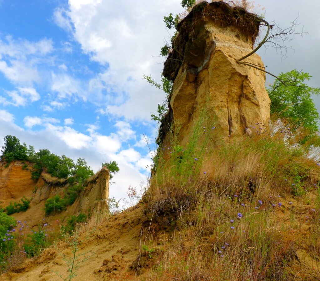
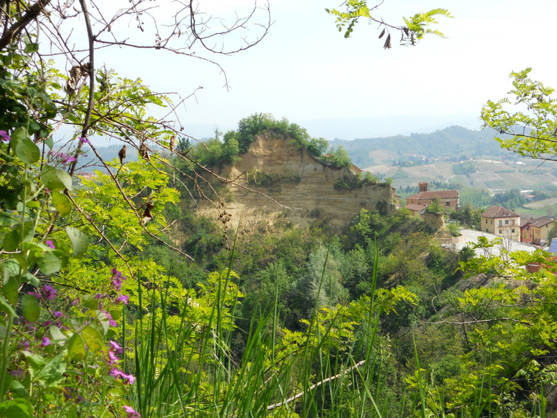
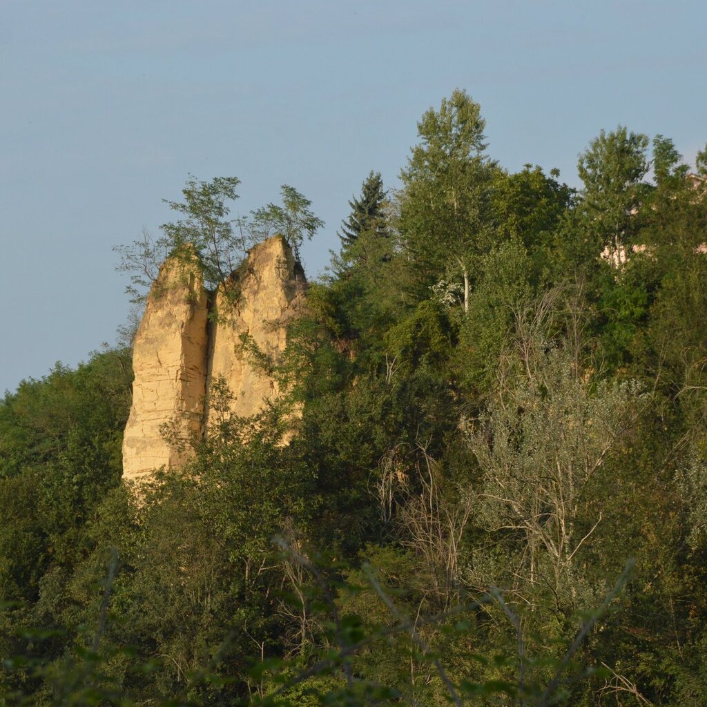
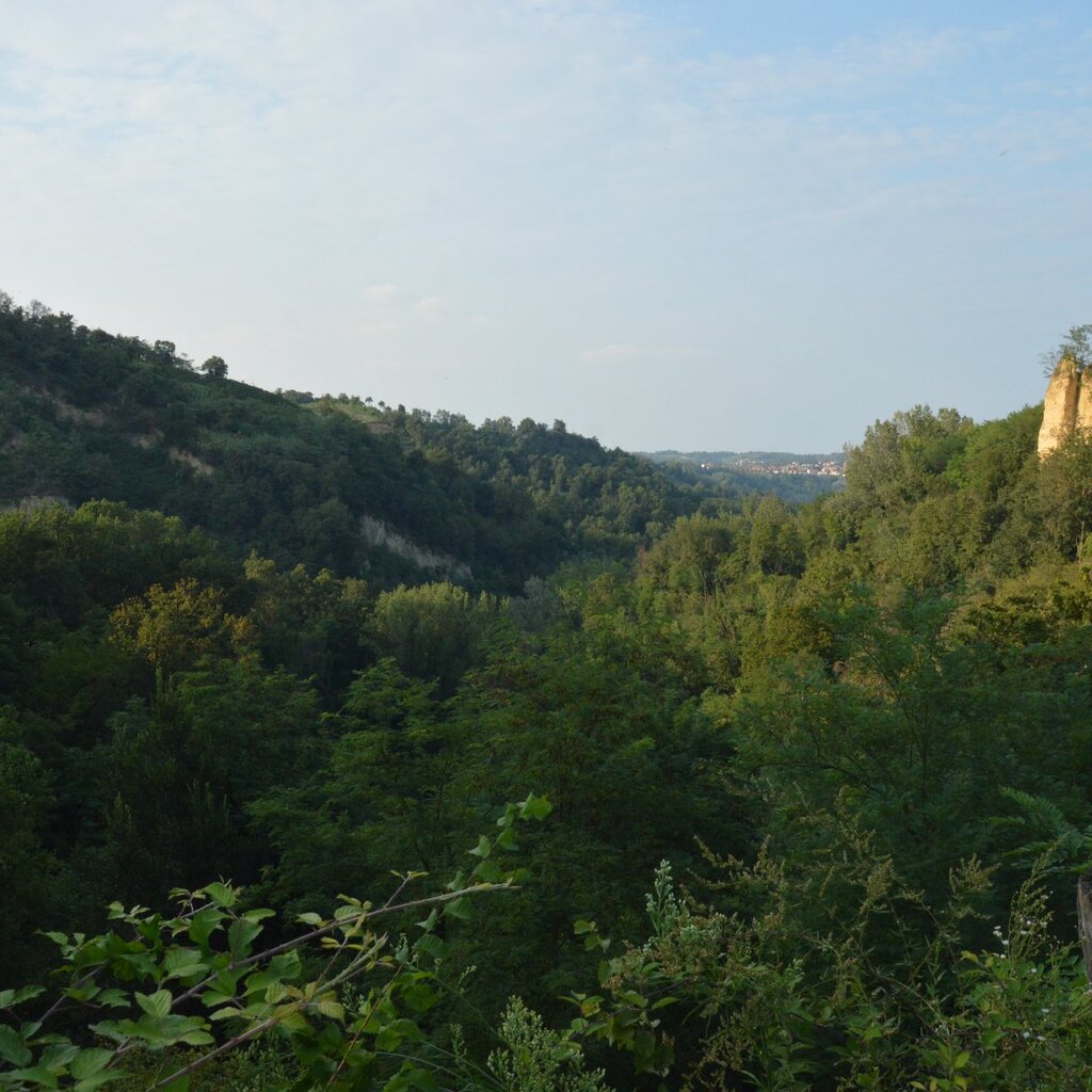
After one more descent and a final climb, you will reach the chapels of the Sacro Monte dei Piloni, situated on a scenic hilltop (water fountain available). The trail then descends into the heart of the Rocche before gradually climbing back up through the Borgata Sant’Antonio vineyards, completing the loop back at Piazza Maiolo.
ITINERARY
- length: 5.2 km
- who it’s for: children aged 6 and up; not suitable for strollers (small children should be carried in a hiking baby carrier).
- best time to visit: Spring, autumn, and winters with little snow.
SAFETY
The trail is marked with directional signs: please follow the path in the indicated direction. We recommend checking the weather forecast and visiting the Ecomuseo website or contacting their offices in advance to confirm the trail's current accessibility and conditions.
PLEASE NOTE: Responsibility for the maintenance and practicability of the various trails lies with the municipalities where the routes are located. The Tourist Board, therefore, cannot be held responsible for any inefficiencies, but is willingly available to collect your reports so that they can be forwarded to the authorities concerned.