Trekking - Monferrato

Sentiero Rosso (Red Trail)

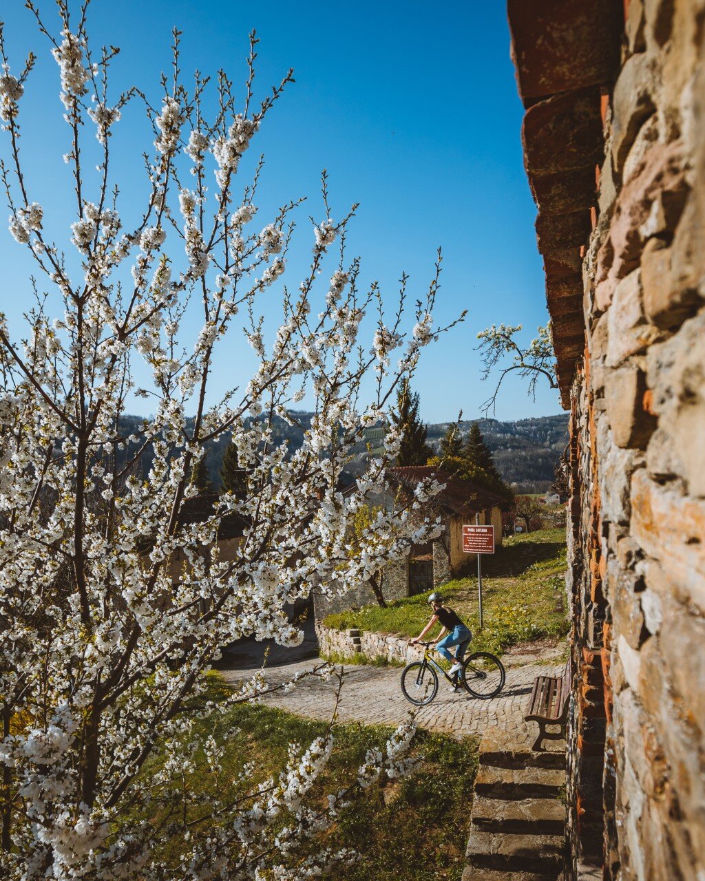
Fontanile is a small village and today has just over 550 inhabitants, however it is not the usual small country village, although agriculture is the main activity here, as you will see as you walk along its paths. Fontanile used to be very important in the past, thanks to its springs and because it was located along routes that have been travelled since ancient times.

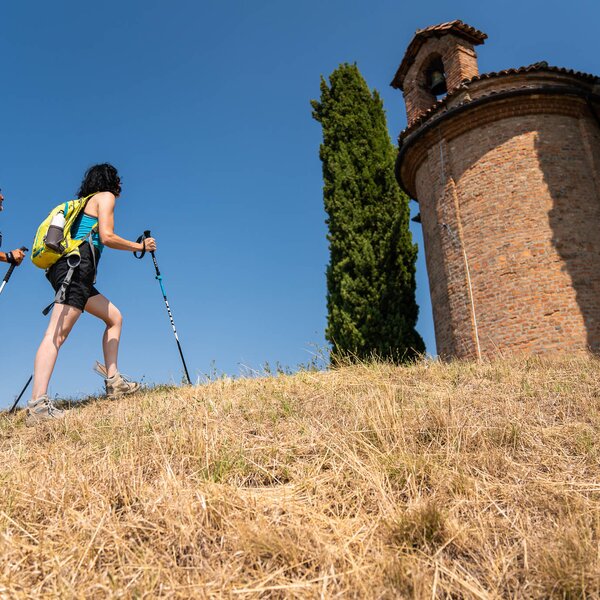
Therefore, it will be quite easy for you to see that it also had two sets of walls: the first wall was meant to protect the "Airali", as shown today by the Ansaldi Tower; the second wall was to protect "La Villa", bordered by two gates (Porta Maestra and Porta Ottoniana - 10th century) both clearly visible from the central Via Roma, which leads up to Piazza Trento Trieste, where you can leave your car to start one of the three trails marked out by the CAI: the Red trail, identified as C and C1, in its short version. Seven and a half kilometres (long trail) through stunning landscapes which you can cover in about two and a half hours up to three hours, depending on your training level.

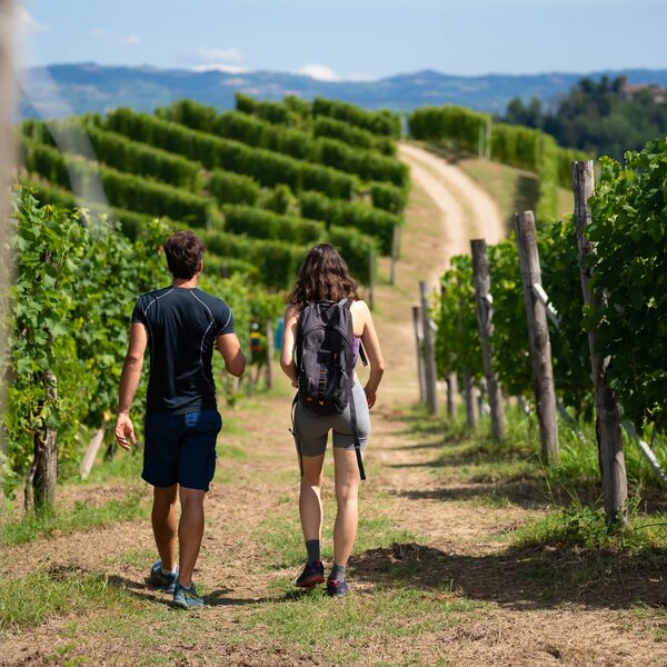
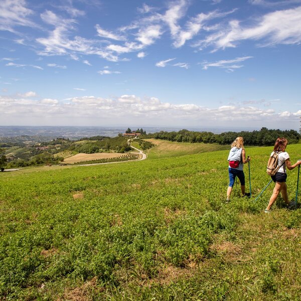
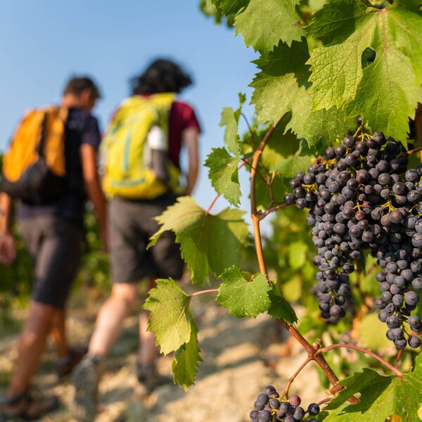
You move on and proceed south-west along Via Mignone to reach the Cantina Sociale and then the small church of San Sebastiano, here you leave the village behind and your gaze begins to wander over the surrounding countryside dominated by vineyards. After a stretch along Provincial Road SP 45, you will reach a small road called Vecchio Mulino that proceeds steeply downhill. Keep following this road that runs alongside a walnut grove and you will reach the dirt road that passes through Rio Casalasco. Here you will find another dirt road, this time full of history, the road of the "Ligurians" dating back to the 1st - 2nd centuries BC, which connected the ancient Acqui Terme with the settlements in Liguria. A small road with a grassy surface, slightly uphill, will take you to a hump from which, to the left, the Short Variant (C1) starts, thus cutting a section of the loop trail.

Read More

After passing through vineyards, a few ditches and fields, you will reach a panoramic ridge and after a flat stretch you will find a group of houses. The trail proceeds first towards the east and then all the way to the north, passing by the area around Castelletto Molina where, at a junction, it will reconnect with the C1 short variant.

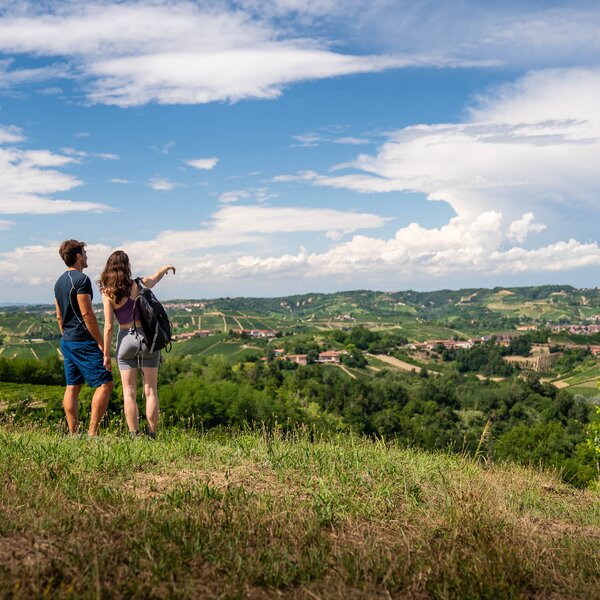
Proceed past the Rio Casalasco River again, a winding crossroads and a small road through the vineyards will take you, between ups and downs, to the top of the ridge and onto an asphalted road. There is a breathtaking panorama to enjoy here, and then it's downhill again towards the bottom of the Robiano valley where you will find the ancient public washhouse dating back to 1687, used for washing hemp that was brought to Piedmont by the Romans. Now you are about to reach Fontanile: after a quick climb you will be onto Via Mignone and soon back at the car park where you started your trail.

COVERED AREAS

Monferrato

GENERAL INFORMATION

Departure
Fontanile
Via Paramuro
14046
Italy
Arrival
Fontanile
Via Paramuro
14046
Italy
Type of trail
Loop
Distanz
7.5 km
Difficulty
Easy
Estimated Time
3:00 hours

ACCESSIBILITY

Along the way:

Point of interest along the way

Departure:
Fontanile
Via Paramuro
14046 Asti
Italy
Arrival:
Fontanile
Via Paramuro
14046 Asti
Italy

    Suggested Itineraries

    Altitude profile

    Loading altitude profile...

    The stages of this itinerary

    Back to the main itinerary

      Suggested Itineraries

      • Trekking - Monferrato
        Trekking
        Monferrato
        Stage trail
        Partenza: Tigliole d'Asti
        Arrivo: San Paolo Solbrito
        Easy
        81.1 km
        19:25 hours
      • Trekking - Roero - Pocapaglia - Sentiero della Rocca Creusa
        Trekking
        Roero
        Loop
        Partenza: Pocapaglia
        Arrivo: Pocapaglia
        Easy
        4 km
        1:15 hours
      • Trekking - Monferrato
        Trekking
        Monferrato
        Loop
        Partenza: Agliano Terme
        Arrivo: Agliano Terme
        Easy
        35 km
        12:00 hours
      • Bike - Monferrato
        Cycle Routes
        Langhe
        Monferrato
        Linear
        Partenza: Asti
        Arrivo: Alba
        Intermediate
        52 km
        6:00 hours
      • GTL - Grande Traversata delle Langhe
        MTB Touring Routes
        Langhe
        Linear
        Partenza: Prunetto
        Arrivo: Gottasecca
        Demanding
        7.5 km
        38 minutes
      • Trekking - Montaldo Roero - Sentiero Rocca del Serro
        Trekking
        Roero
        Loop
        Partenza: Montaldo Roero
        Arrivo: Montaldo Roero
        Easy
        4 km
        1:30 hours