Asti

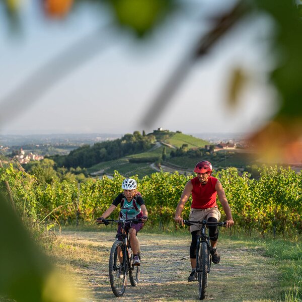
Riding among the hills to the South of Asti

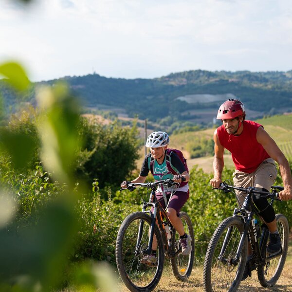
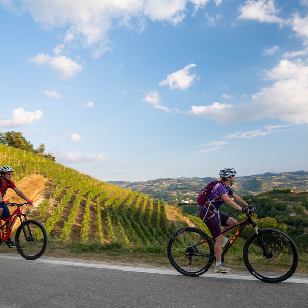
Ring route towards the southern surroundings of the city, in search of the perfect panoramic viewpoint to admire Asti from a different perspective.


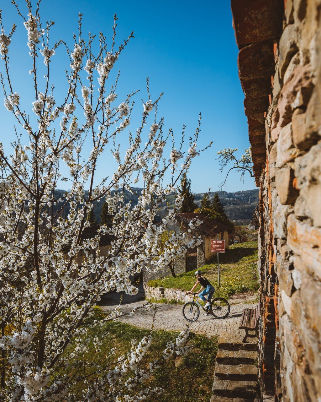
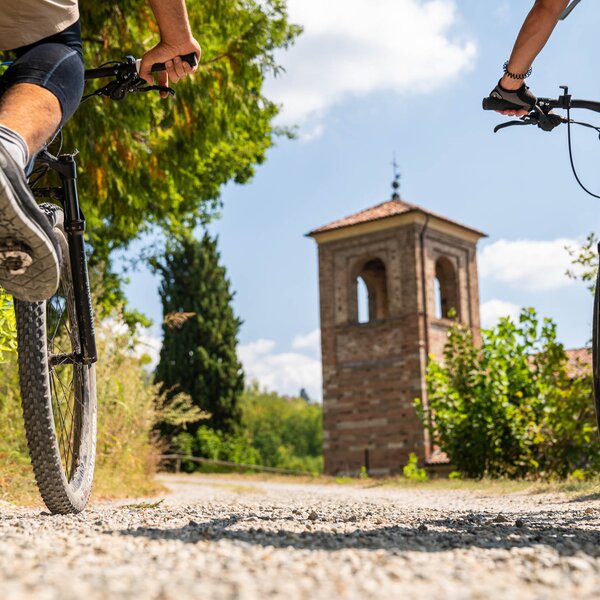
The route is designed to combine a visit to the town of Asti, rich in art and culture, with its surroundings, merging the passion of “two wheels” with the opportunity to immerse yourself in history, among palaces, churches and Romanesque remains. 

Starting from Piazza Campo del Palio (where you can easily park your car) or from the nearby railway station, take Corso Savona, cross the bridge over the river Tanaro and turn left towards Borgo Trincere. Passing under the highway road you’ll arrive at Torrazzo. After the level crossing, the route towards Mongardino runs along the railway, then goes up the hill and reaches the village along the ridge of Sant'Antonio with the Via Crucis Chapels (Stations of the Cross). The "Sacro Monte" (Holy Mountain) was built in 1720.

Go through the village and continue along the panoramic Via Fredda, then downhill towards the valley and again uphill towards the Bellangero castle. Continue the route with stunning views of the Tanaro Valley in the direction of San Marzanotto (don’t miss the beautiful panoramic viewpoints of Belvedere of Castellazzo and the church square).

From here the itinerary goes back towards Torrazzo passing by the hamlet of Fornace and the ring route is completed in Trincere, on the way back to Asti.

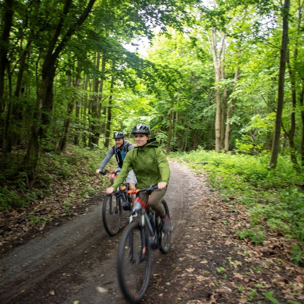
Suitable for MTB and off-road E-bikes. Some challenging short-length climbs, about 3 km on heavy-traffic roads.

COVERED AREAS

Monferrato

DOWNLOAD

GENERAL INFORMATION

Departure
Asti
Piazza Campo del Palio
14100
Italy
Arrival
Asti
Piazza Campo del Palio
14100
Italy
Type of trail
Loop
Distanz
18.7 km
Difficulty
Intermediate
Estimated Time
3:00 hours

ACCESSIBILITY

Along the way:

Fountains / water points along the trail

Point of interest along the way

Departure:
Asti
Piazza Campo del Palio
14100 Asti
Italy
Arrival:
Asti
Piazza Campo del Palio
14100 Asti
Italy

Altitude profile

Loading altitude profile...

    Suggested Itineraries

    • Trekking - Santo Stefano Roero - Sentiero del gioco
      Trekking
      Roero
      Loop
      Partenza: Santo Stefano Roero
      Arrivo: Santo Stefano Roero
      Easy
      5.2 km
      1:40 hours
    • Trekking - Monferrato
      Trekking
      Monferrato
      Loop
      Partenza: Moncalvo
      Arrivo: Moncalvo
      Easy
      6 km
      2:00 hours
    • Trekking - Monferrato
      Trekking
      Monferrato
      Loop
      Partenza: Grazzano Badoglio
      Arrivo: Grazzano Badoglio
      Easy
      8 km
      2:20 hours
    • Trekking - GTL
      Trekking
      Langhe
      Linear
      Partenza: Bergolo
      Arrivo: Prunetto
      Intermediate
      9.2 km
      2:40 hours
    • Trekking - Monteu Roero
      Trekking
      Roero
      Partenza: Monteu Roero
      Arrivo: Monteu Roero
      Easy
      25.9 km
      7:20 hours
    • Trekking - Monferrato
      Trekking
      Monferrato
      Loop
      Partenza: Moncalvo
      Arrivo: Moncalvo
      Easy
      8,4 km
      2:30 hours