Trekking - Monferrato

Sentiero Viola (Purple Trail)

This is a medium-difficulty trail, partly on gravel (30%), 6.75 km long and can be covered in a two-and-a-half-hour walk.

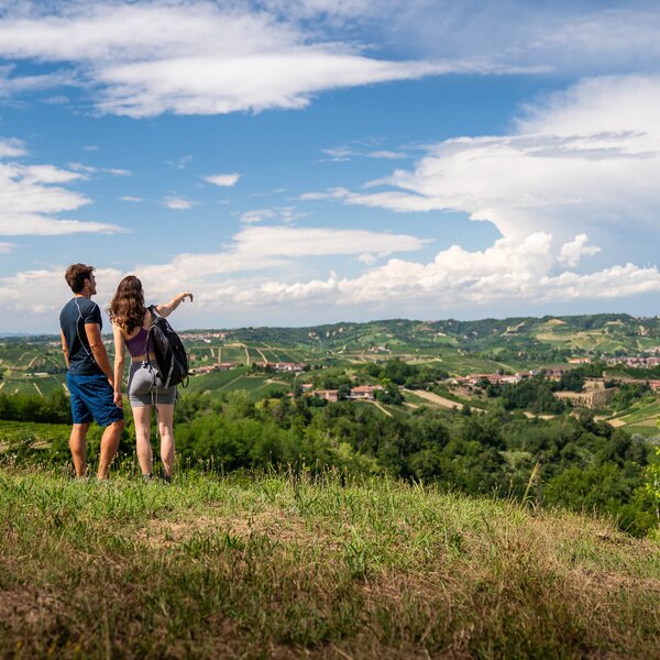
The trail departs from Piazza Roma, then you proceed eastwards to reach Via Vittorio Alfieri and take the provincial road to the junction with the San Bernardino pillar. Turn left towards Molizzo and Bologna: the road is asphalted and from this position you can enjoy some charming views of the buffer zones of the UNESCO World Heritage landscapes, as well as of the Sanctuary of the Annunciazione di Molizzo, the oldest church in the Agliano area.

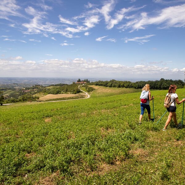
You continue and, once you reach Villa Susti, leave the asphalted road for a dirt track which runs alongside a vineyard and is downhill. At the end of it, you pass by an orchard until you join the asphalted road again at the bottom of the valley. You reach the hamlet of Bologna and, after a steep stretch up to the "cherry tree" on the ridge, you will be able to enjoy a 360° view of the valley and surrounding hills.

You go downhill and uphill, always among crops and vineyards, passing through the hamlets of Dogliano and then Vialta, until you get to the provincial road SP 116 and follow the last stretch that takes you back to the starting point, in Piazza Roma. 


COVERED AREAS

Monferrato

DOWNLOAD

GENERAL INFORMATION

Departure
Agliano Terme
Piazza Roma
14041
Italy
Arrival
Agliano Terme
Piazza Roma
14041
Italy
Type of trail
Loop
Distanz
6.75 km
Difficulty
Easy
Estimated Time
2:30 hours

ACCESSIBILITY

Along the way:

Picnic area along the trail
Fountains / water points along the trail

Point of interest along the way

Departure:
Agliano Terme
Piazza Roma
14041 Asti
Italy
Arrival:
Agliano Terme
Piazza Roma
14041 Asti
Italy

Suggested Itineraries

Altitude profile

Loading altitude profile...

The stages of this itinerary

Back to the main itinerary

Suggested Itineraries