Trekking - Monferrato

The San Rocco Trail

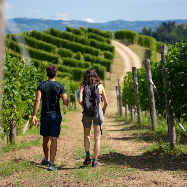
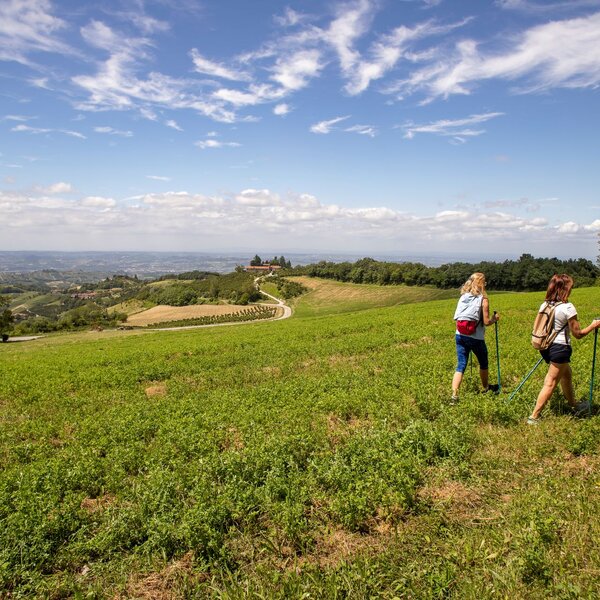
In technical terms, those used by the CAI of Asti, which has marked out this trail, it is defined as "low anthropic pressure". In emotional terms we would define it as a natural environment, mostly unspoilt, in which to immerse ourselves with all our senses and let ourselves be guided by the sole desire to reconnect with Creation.

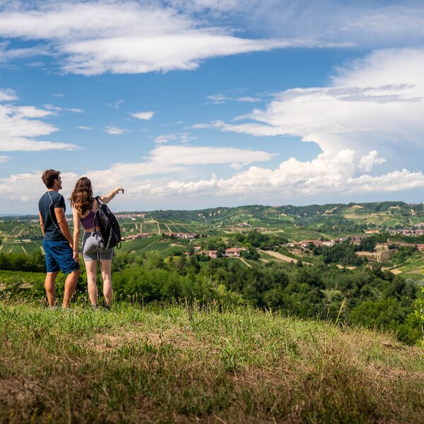
This is how the Langa Astigiana presents itself, set within the villages of Roccaverano and Serole, along the loop trail that connects the hamlet of San Rocco with Serole and Bric Puschera, the "peak of the Langa" from which you can enjoy a stunning view.

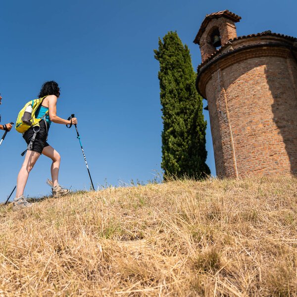
Reach the 17th-century church of San Rocco in Roccaverano, where you will find a car park and a picnic area. Locate the CAI (Italian Alpine Club) signs immediately to the right of the religious building and continue along a small asphalted road which, after a few downhill bends, will take you to Case Boglioli. Here you will join path no. 502 and proceed to the right, then walk along some terracings and, after passing a few farmsteads, you will get into the wood. You reach the SP 47 road to Serole, past the small church of San Sebastiano, and continue along the provincial road to the village of Serole, a small municipality that embodies the essence of the Langa. It is surrounded by gullies and woods, once trodden by the feudal lords of the valleys who came here to hunt, and it is also surrounded by meadows and pastures grazed by the goats that would later provide the excellent milk used to make the typical Langa cheeses.

Read More

About 400 metres from the old town, you leave the provincial road and continue along a gravel road that leads uphill to the aqueduct. Turn right and the path becomes flat, but only for a short time, because you will have to tackle another climb to reach the ruins of Serole Castle.  You continue surrounded by the woodland that changes scenery: from the damp, cool woodland typical of the valley floor featuring examples of oak and hornbeam, to a drier, thinner woodland dominated by manna ash, downy oak, Scots pine and bushes of hawthorn, dogwood and blackthorn. Here there are also clearings of varying size and old terracings. All this adds to the richness of the animal species that find plenty of space and resources for their sustenance in such a variety of environments. You are now at the foot of Bric Puschera, which with its 851 metres above sea level is the highest peak in the province of Asti. You will reach it after a demanding climb, but it will be well worth it: you will be able to take a break to catch your breath and enjoy the charming landscape of the valleys below and the mountain ridges.

You continue on a dirt road, slightly downhill, passing a coniferous forestry plantation. A wooden gate takes you onto the path that marks the boundary between a mixed broadleaf forest and natural meadows and, because of this, very rich in spontaneous wild flowers and fragrances (including wild orchids), a real boon for many species of butterflies. About 400 m after the top, the trail winds downhill for a few turns. You reach the main road where you turn left: just a few bends and you will be back at the starting point in Roccaverano.


COVERED AREAS

Monferrato

DOWNLOAD

GENERAL INFORMATION

Departure
Roccaverano
SP124
14059
Italy
Arrival
Roccaverano
SP124
14059
Italy
Type of trail
Loop
Distanz
10 km
Difficulty
Demanding
Estimated Time
4:00 hours

ACCESSIBILITY

Along the way:

Point of interest along the way

Departure:
Roccaverano
SP124
14059 Asti
Italy
Arrival:
Roccaverano
SP124
14059 Asti
Italy

Suggested Itineraries

Suggested Itineraries

  • Trekking - Montaldo Roero - Sentiero Livio Venturino
    Trekking
    Roero
    Loop
    Partenza: Montaldo Roero
    Arrivo: Montaldo Roero
    Easy
    6 km
    2:00 hours
  • Trekking - Roero
    Trekking
    Roero
    Loop
    Partenza: Canale
    Arrivo: Canale
    Easy
    14 km
    2:45 hours
  • MTB - Langhe - Cherasco
    MTB Touring Routes
    Langhe
    Loop
    Partenza: Cherasco
    Arrivo: Cherasco
    Intermediate
    24.1 km
    2:30 hours
  • Trekking - Monferrato
    Trekking
    Monferrato
    Loop
    Partenza: Penango
    Arrivo: Penango
    Easy
    20.9 km
    5:25 hours
  • MTB - Monferrato
    MTB Touring Routes
    Monferrato
    Linear
    Partenza: Piea
    Arrivo: Montiglio Monferrato
    Easy
    8.6 km
    1:50 hours
  • Trekking - Monferrato
    Trekking
    Monferrato
    Linear
    Partenza: Lavezzole (San Damiano d'Asti)
    Arrivo: San Damiano d'Asti
    Easy
    2.8 km
    55 minutes