Trekking - Langhe

Remo Poggio Path

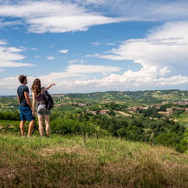
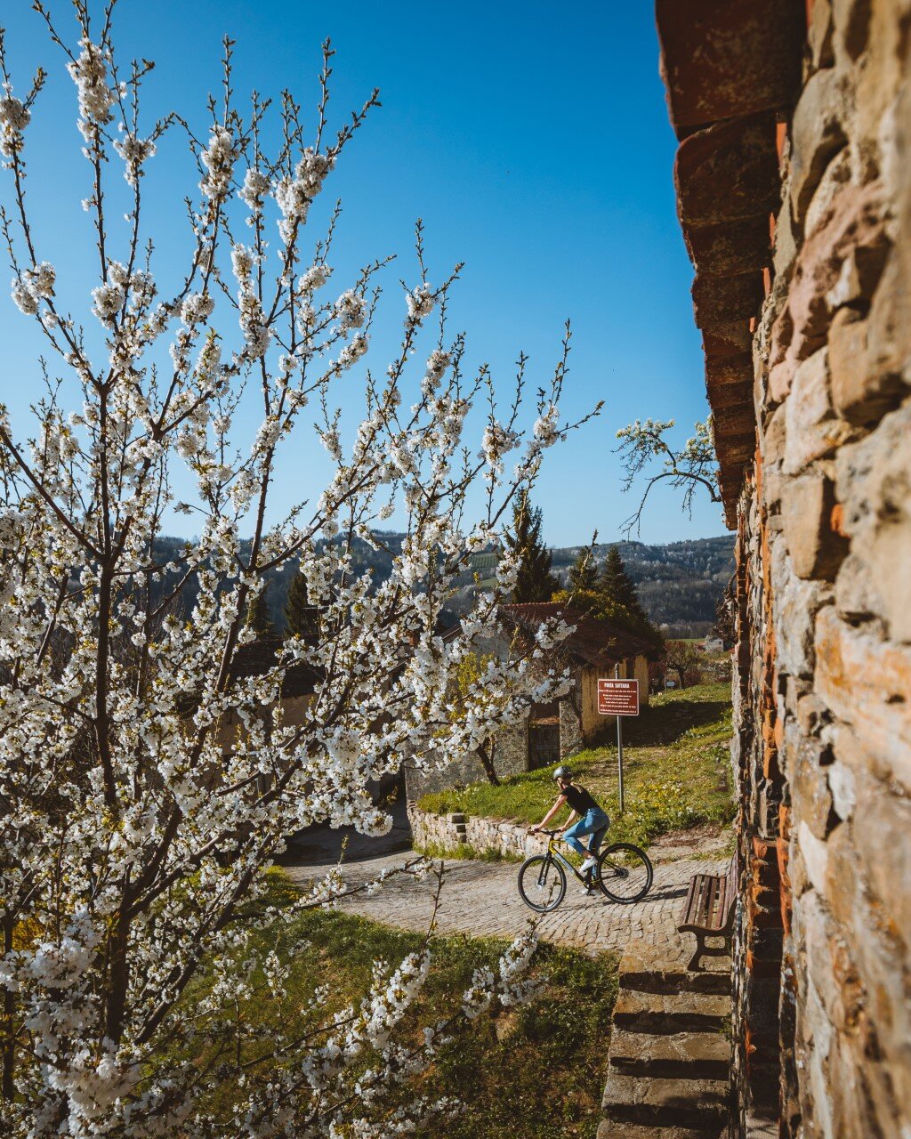
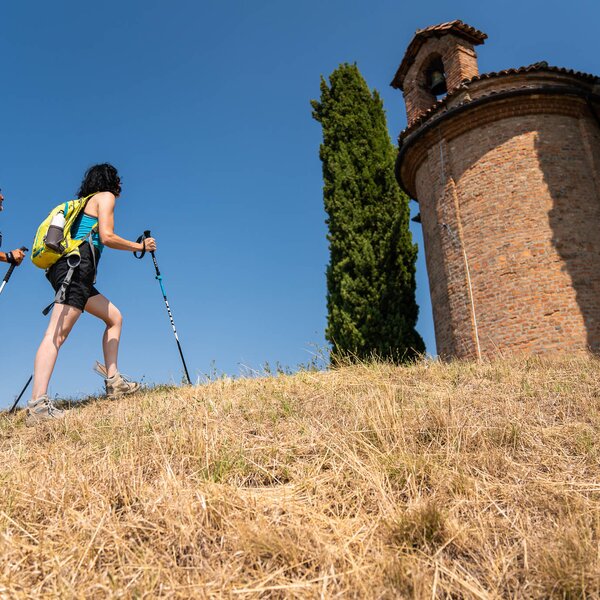
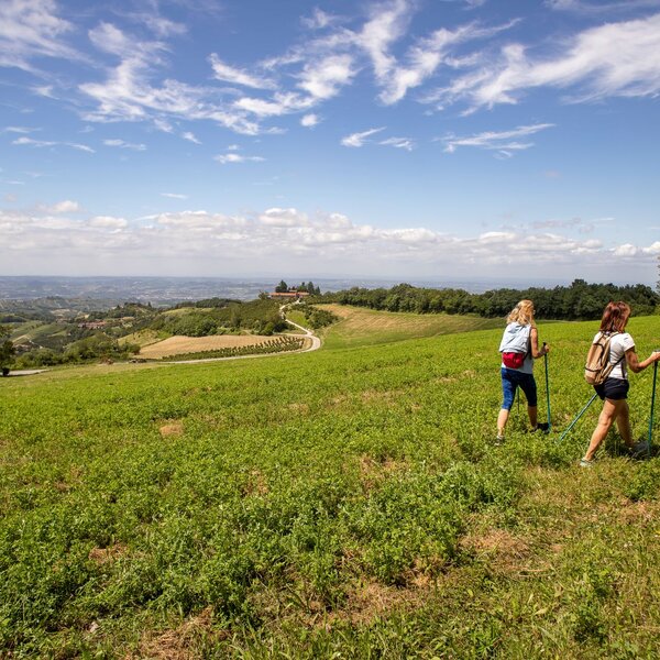
In the first part is the area for parking, which is just above the village, the landscape is already large and is enhanced, extending further from the village, by the Church dedicated to San Carlo: the highest point of the municipality. Leaving the church, on a ridge dirt level ground, there are several Cherry trees and, at the bottom, an old and large Almond tree. Continuing on the meadow, you pass near some Peach trees: here the view is open to the left of the Belbo valley; the panoramic view shifts then to the west, on the Tanaro valley and, on clear days, on the amazing spectacle of the Alps mountain range with the Monviso easily recognizable.

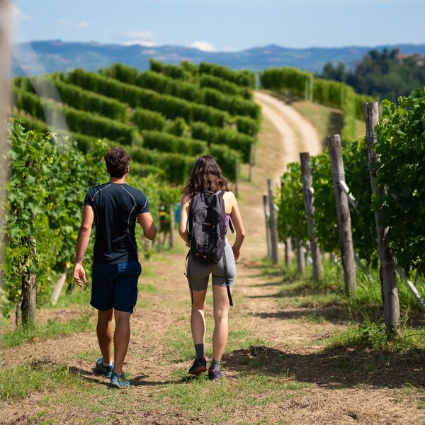
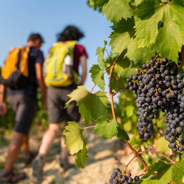
The first dirt stretch goes downhill between Moscato grapes vineyards, small orchards and around old farm houses, some of them restored. The patch of wood marks the end of the valley and offers, in the spring, the colored light of the Primroses and Violets, also white; during the summer the Gaggie and False Acacias offer a bit shade in the heat. Going on the long straight asphalt road, you climb again on a dirt road covered with large Moscato vineyards; on a corner it is possible to notice the particular length rows of vines while a blank side of the hill shows the layers of tuff that make up this fertile ground.

The view is always open to the area of Alba, the Roero hills and the mountains background. The small Forti hamlet, that you cross while climbing again, seems to have been the site of a furnace during the Roman period. Once reached the ridge, the opposite village of Castiglione Tinella can be seen above the rocks on its western side; descend again between Moscato vineyards toward the Rio delle Rocche and the road that crosses a hazel grove. Returning to the village the view reopens to the west, north and east, and before reaching the main square you cross again the equipped rest area.

COVERED AREAS

Langhe

DOWNLOAD

GENERAL INFORMATION

Departure
Castiglione Tinella
13 Piazza Venti Settembre
12053
Italy
Arrival
Castiglione Tinella
13 Piazza Venti Settembre
12053
Italy
Type of trail
Loop
Distanz
10 km
Difficulty
Easy
Estimated Time
3:30 hours

ACCESSIBILITY

Along the way:

Picnic area along the trail
Fountains / water points along the trail

Point of interest along the way

Departure:
Castiglione Tinella
13 Piazza Venti Settembre
12053 Cuneo
Italy
Arrival:
Castiglione Tinella
13 Piazza Venti Settembre
12053 Cuneo
Italy

Suggested Itineraries

The stages of this itinerary

Back to the main itinerary

Suggested Itineraries