Trekking - Montaldo Roero - Sentiero Livio Venturino

Livio Venturino Trail

The Livio Venturino Trail connects the two villages of Montaldo Roero and Baldissero d'Alba, and therefore it can be walked both starting from Montaldo Roero (Piazza Viglione) and Baldissero d'Alba (Piazza Martiri).

The trail starts from the main square of Montaldo Roero, Piazza Viglione. After leaving the beautiful and imposing parish church of the Annunciazione, which dates back to the 11th century and was rebuilt in its current late-Romanesque form in the 14th century, we follow a short stretch of the provincial road with a view, to the right, over the steep jagged slopes of the Rocca del Serro and, to the left, over a narrow horizon of hills, enhanced by the barely visible but always clearly recognizable outline of the castle of Monticello d'Alba.

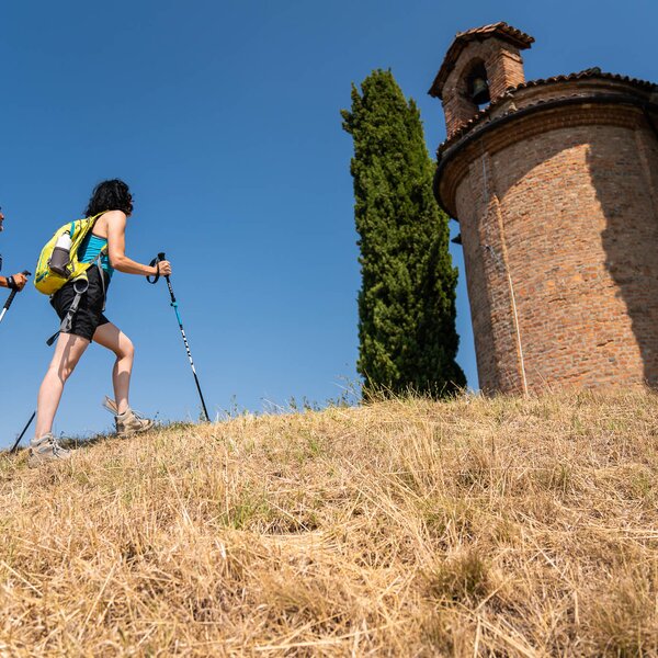
At the signpost, take the short, steep climb that leads to the small church of Madonna delle Grazie, built in the 17th century during the plague. In the 12th and 13th centuries, the very scenic site, known as "Podium Arnaudi", served as a watchtower and defence post. The trail starts right behind the little church and follows the crest of the "do Cérlic" rock, with a breathtaking view over the vertical walls and the castle of Baldissero d'Alba. It crosses paths of foxes and badgers and reaches a small recently built votive pillar in front of a fountain (water point).

A steep flight of steps surrounded by wild chestnut trees leads to the post at the valley floor, where tall white poplars ("arbrun") stand out, the legacy of the thousand-year-old "Silva Popularis" that once extended as far as the border with Pralormo. Here the Rocca softens its wild nature to embrace the cultivated land.

Turning left, along the Madonnina stream, flanked by horsetails and large willows, the path continues down the valley among vegetable gardens and hazel groves.

Read More

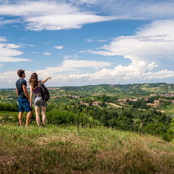
After about 1 km, it reaches the hamlet known as "Nasau", from the ancient name of the hemp mills which once used small basins to collect water (the "bià"). At the "Rocchetta-Costabella" signposted junction, a long climb begins to the right, with a very panoramic view over Montaldo Roero, dominated by the imposing watchtower, and over the lower boundaries of Baldissero d'Alba. We are on the "Costabella" route, which marks the border between the two municipalities.

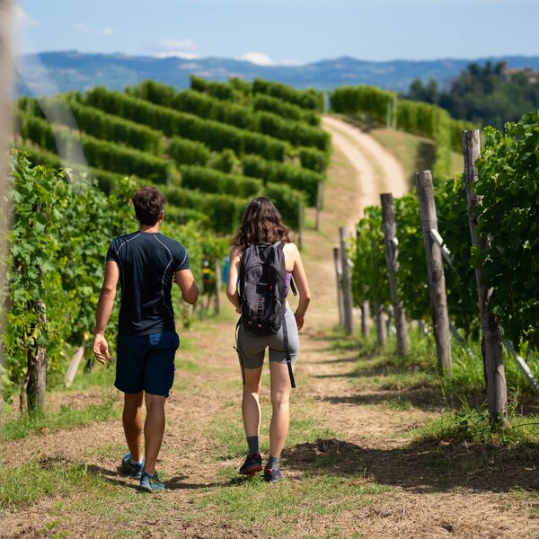
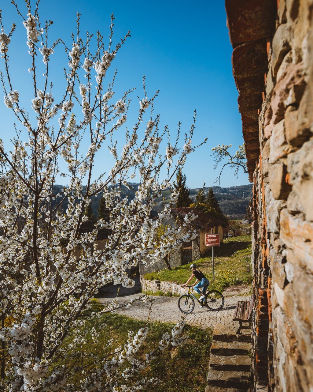
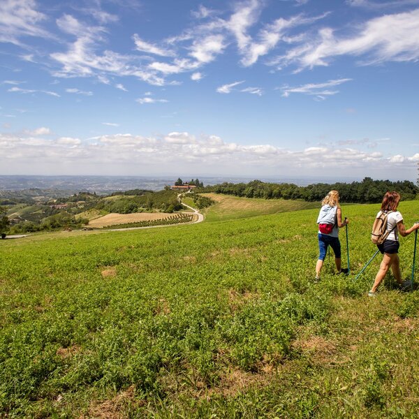
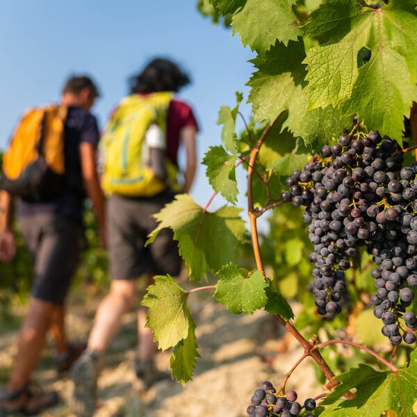
Passing through plum and hazelnut orchards and across some lonely cherry trees, you reach the Arneis and Nebbiolo vineyards in a higher and sunnier position.

After a gentle slope with barely noticeable bumps and curves, a demanding ascent begins, bordered by brambles, Turkish grapes and locust trees, which runs through clayey and sandy soils formed by marine sedimentation (Pliocene and Villafranchian) to reach the more recent sandy-gravel sediments of aeolian and alluvial origin with shades ranging (due to the abundance of iron pigments) from brown to red.

Once the trail reaches the plain at Rocchetta, it continues through a forest of hackberry trees (in dialect, "favarun", whose branches were once a popular material for making the handles of the tools used for working in the countryside). Next, it passes near Colonna Castle, rebuilt at the end of the 19th century on the site that had existed since the Middle Ages in its present neo-Gothic form, and then leads into the village at the signposted junction. Here the trail turns right to go through the village on the main road and then continues along the provincial road towards Montaldo Roero.

The Montaldo Roero area begins in the ''Canemorto'' hamlet. At the signpost on the right, the trail continues along a short flat stretch bordered by dense vegetation of brambles, locust trees, ferns, chestnuts and wild hazelnuts, as well as isolated, imposing stone pines. After a short, steep and completely shady climb, the trail reaches the summit of the area known as "Tampette".

It then continues to the left, among chestnut trees, stone pines and downy oaks along the crest of the Rocca, overlooking deep gorges and picturesque ravines to the south and the Alps (Cervino and Monte Rosa) to the north. Near the first houses in the village, the descent begins to reach the plain and the signpost near the Santa Libera pillar.

Next, we continue to the right along the provincial road that passes just below the watershed between the Tanaro and Po basins, crossing the suggestive bridge stretching over the gap between the Rocca del Serro and the crevice that divides it from the Rocca "do Cèrlic" (now known as the "Ponte dei Sapori"), offering a splendid view to the north-east over the castle of Monteu Roero and to the south-west over the castle of Baldissero d'Alba, and finally we go back to the square where our trip ends.

COVERED AREAS

Roero

DOWNLOAD

GENERAL INFORMATION

Departure
Montaldo Roero
Piazza Aldo Viglione
12040
Italy
Arrival
Montaldo Roero
Piazza Aldo Viglione
12040
Italy
Type of trail
Loop
Distanz
6 km
Difficulty
Easy
Estimated Time
2:00 hours

ACCESSIBILITY

Along the way:

Picnic area along the trail
Fountains / water points along the trail

Point of interest along the way

Departure:
Montaldo Roero
Piazza Aldo Viglione
12040 Cuneo
Italy
Arrival:
Montaldo Roero
Piazza Aldo Viglione
12040 Cuneo
Italy

    Suggested Itineraries

    Altitude profile

    Loading altitude profile...

    The stages of this itinerary

    Back to the main itinerary

      Suggested Itineraries

      • Trekking - Langhe - Dogliani
        Trekking
        Langhe
        Loop
        Partenza: Dogliani
        Arrivo: Dogliani
        Intermediate
        98 km
        21:15 hours
      • BTB - Langhe
        Trekking
        Langhe
        Linear
        Partenza: San Bovo (Castino)
        Arrivo: Niella Belbo
        Intermediate
        29 km
        6:30 hours
      • Trekking - Barbaresco Barolo
        Trekking
        Langhe
        Linear
        Partenza: Serralunga d'Alba
        Arrivo: Monforte d'Alba
        Intermediate
        10.5 km
        3:00 hours
      • Trekking - Roero - Baldissero d'Alba
        Trekking
        Roero
        Partenza: Baldissero d'Alba
        Arrivo: Baldissero d'Alba
        Easy
        7 km
        3:00 hours
      • Bike - Asti
        Cycle Routes
        Monferrato
        Loop
        Partenza: Asti
        Arrivo: Asti
        Easy
        21 km
        3:00 hours
      • MTB - Langhe - Cherasco
        MTB Touring Routes
        Langhe
        Loop
        Partenza: Cherasco
        Arrivo: Cherasco
        Intermediate
        15.2 km
        1:50 hours