Trekking - Monferrato

In the Lands of the Saints

The Asti area is one of Italy's most famous wine regions, known above all for its red and sparkling wines, but few people know that these splendid hills are the birthplace of great men who have gone down in history because of their spirituality and social commitment. These are the lands of San Giovanni Bosco, founder of the Salesian order, but also the homelands of San Giuseppe Cafasso, San Domenico Savio, Cardinal Massaja, Margherita Occhiena, Giuseppe Allamano and Luigi Variara.

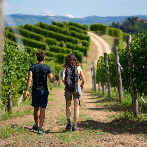
This loop trail, in its short (7.5 km) or full (14 km) version, will take you through the landscapes where these men and women who, driven by faith, lived and worked acting as ambassadors of peace and brotherhood. Therefore, hiking in these hills will prove to be both a physical and a spiritual experience, thanks also to nature, which you will be able to embrace with your gaze.

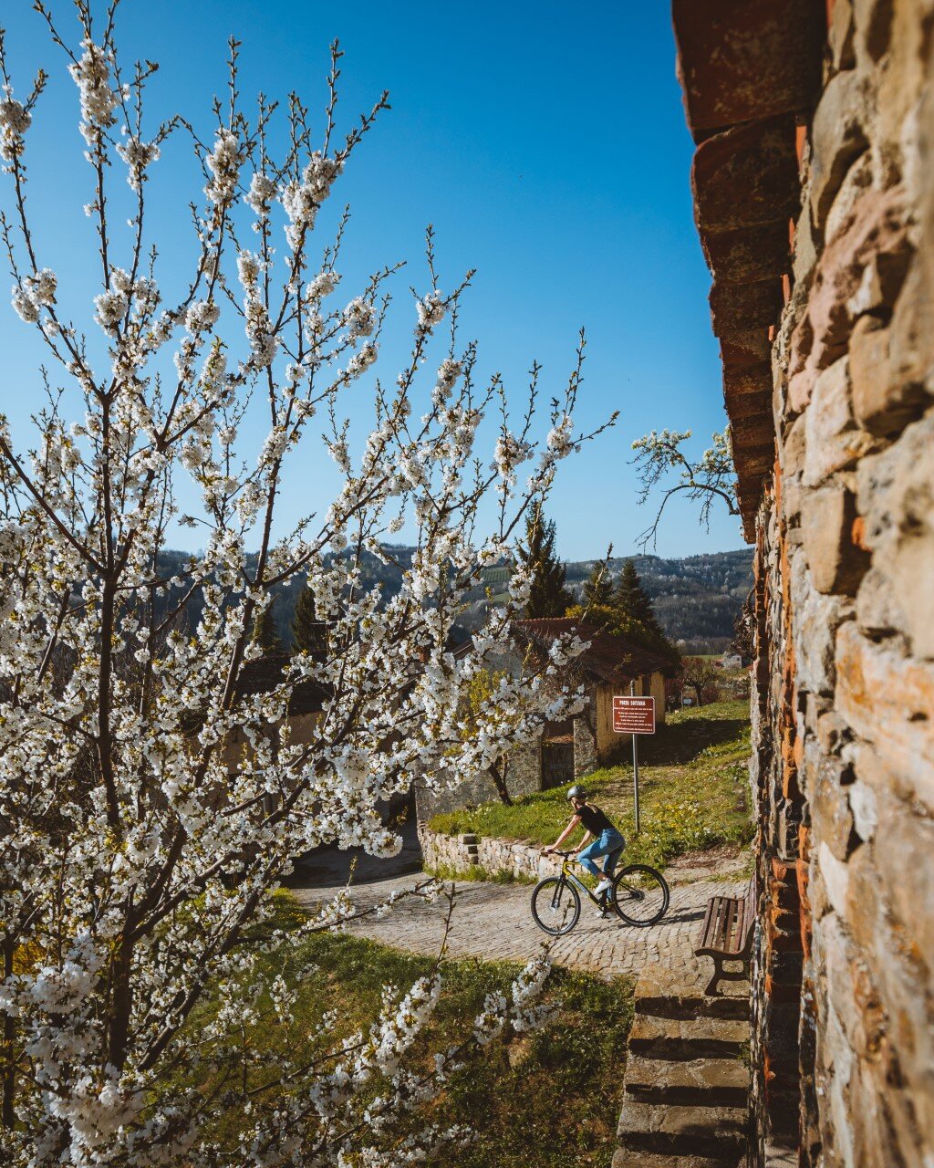
The trail, in its two options, long or short, starts from the Cantina Sociale in  Castelnuovo Don Bosco. Follow the red and white CAI signposts and walk through the village old town. You will come across the old parish church, some historic buildings and, as you reach Via Argentero, you will pass near the old Salesian boarding school.

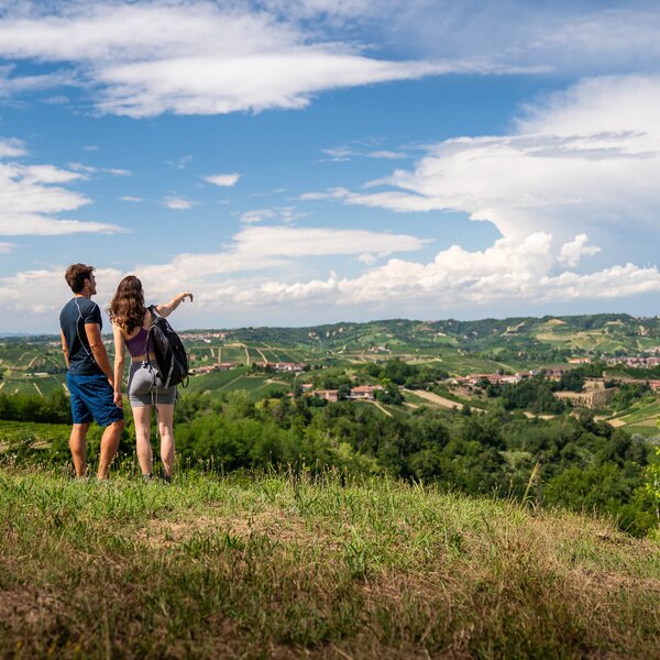
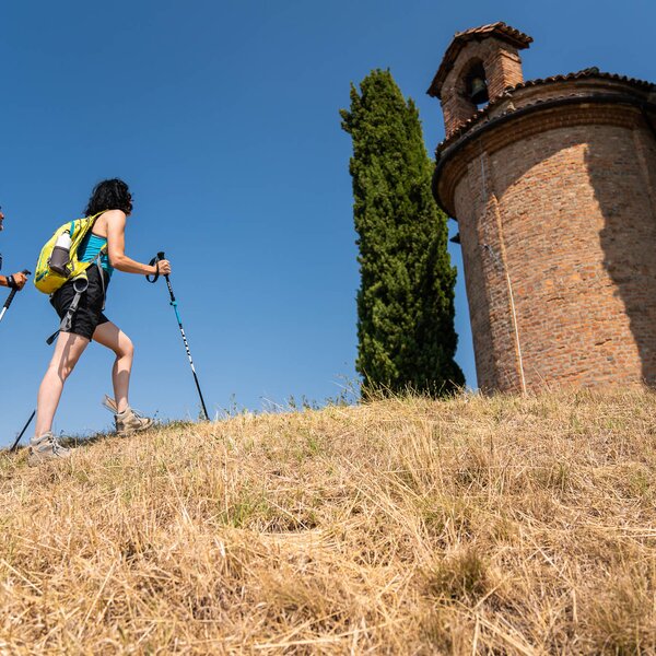
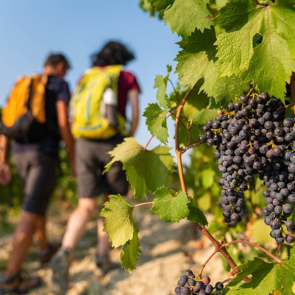
By following Via Madonna del Castello, you will reach the small chapel of San Sebastiano and, turning right onto Via Antica di Albugnano, you will take a stretch of the Cammino di Don Bosco, the itinerary that links the Sanctuary of Maria Ausiliatrice in Torino Valdocco with the hill where the Saint from Asti was born. Once you reach the ridge, you will be able to enjoy some beautiful views and see other historical-religious sites such as the chapel of San Barnaba, Madonna del Ròch and, amidst vineyards, you will also find the softly coloured silhouette of the church of San Pietro in Zucca, once called the Church of the Dead due to the presence of some graves.

Read More

Turn right near Cascina Miretti and follow the dirt road through the vineyards to reach Cascina Galavertino. From this point onwards, continue along a grassy path, keeping to the right on the ridge, to enjoy a panoramic view of Pino d'Asti. A little further on, at Ranello, the two trails, long and short, separate.

If you don't feel like tackling any more ups and downs, you can decide to stick to the short trail and continue straight ahead along Strada Mosparone. Once you reach the crossroads to Ranello (about 500m), turn right on a gentle descent, and rejoin the final part of the longer trail.

The latter route, on the other hand, will take a left turn onto a dirt road that runs downhill through a wood, at the end of which you will reach the valley floor with the Nissone stream, which you will cross on a bridge. The path goes up towards Pino d'Asti and reaches the provincial road SP 81 and the church of Santa Maria della Pieve, where you can stop for a break. You continue your trail on a downhill dirt road and reach the Muscandia nature area, an unspoilt environmental oasis of great natural and paleontological interest.

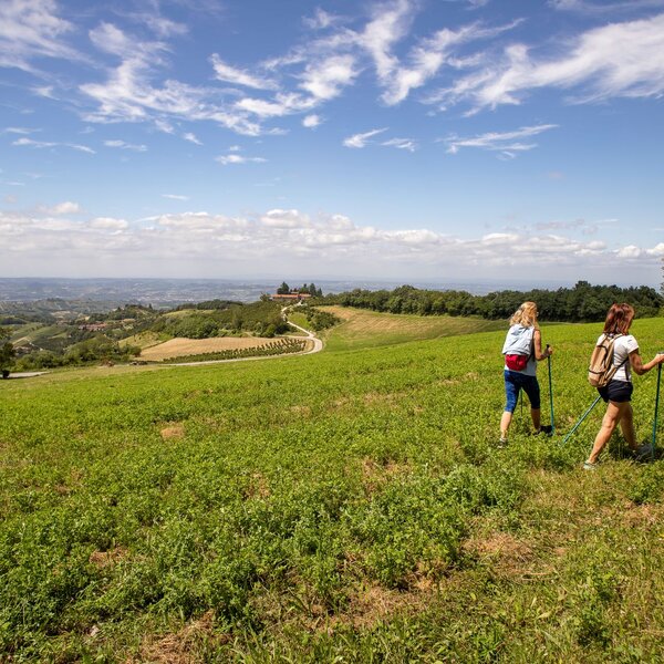
Further on, you come to Mondonio in the footsteps of San Domenico Savio. Turn back briefly onto the provincial road towards Pino d'Asti and take a grassy path to Case Ranello, where the long trail re-joins the short trail. There are fields, vineyards, woods and landscapes to enjoy as you reach the Strada del Papa (the Pope’s Road) and, once you get to a crossroads, continue on to reach the meadows in the valley floor. Once you reach the busy provincial road, you will find directions to return to the starting point of our trail in the Lands of the Saints.


COVERED AREAS

Monferrato

DOWNLOAD

GENERAL INFORMATION

Departure
Castelnuovo Don Bosco
SP16
14022
Italy
Arrival
Castelnuovo Don Bosco
SP33
14021
Italy
Type of trail
Loop
Distanz
14 km
Difficulty
Intermediate
Estimated Time
4:30 hours

ACCESSIBILITY

Along the way:

Point of interest along the way

Departure:
Castelnuovo Don Bosco
SP16
14022 Asti
Italy
Arrival:
Castelnuovo Don Bosco
SP33
14021 Asti
Italy

Suggested Itineraries

Altitude profile

Loading altitude profile...

Suggested Itineraries