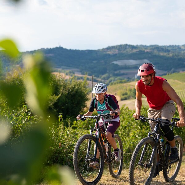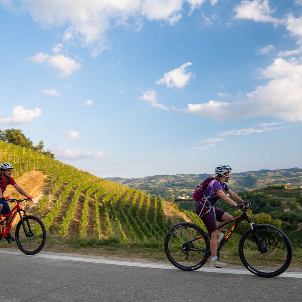
Water Trail on a MTB
The Water Trail is named after Valunga lake, whose artificial water emerge along the path, and after the several fishponds present on the territory of Roero upland. Created to provide water in summer, the fish-ponds represented a remarkable food source and income for its ichthyic fauna.
This Roero area, historically known as the “upper ends”, and dating back to the Ancient Rome era, was an important wood reserve for the presence of the silva popularis. The territories of this mainly flat area are known as “red lands” because of their reddish argillaceous composition, which allowed for variously shaped bricks, creases, and tiles to be produces.
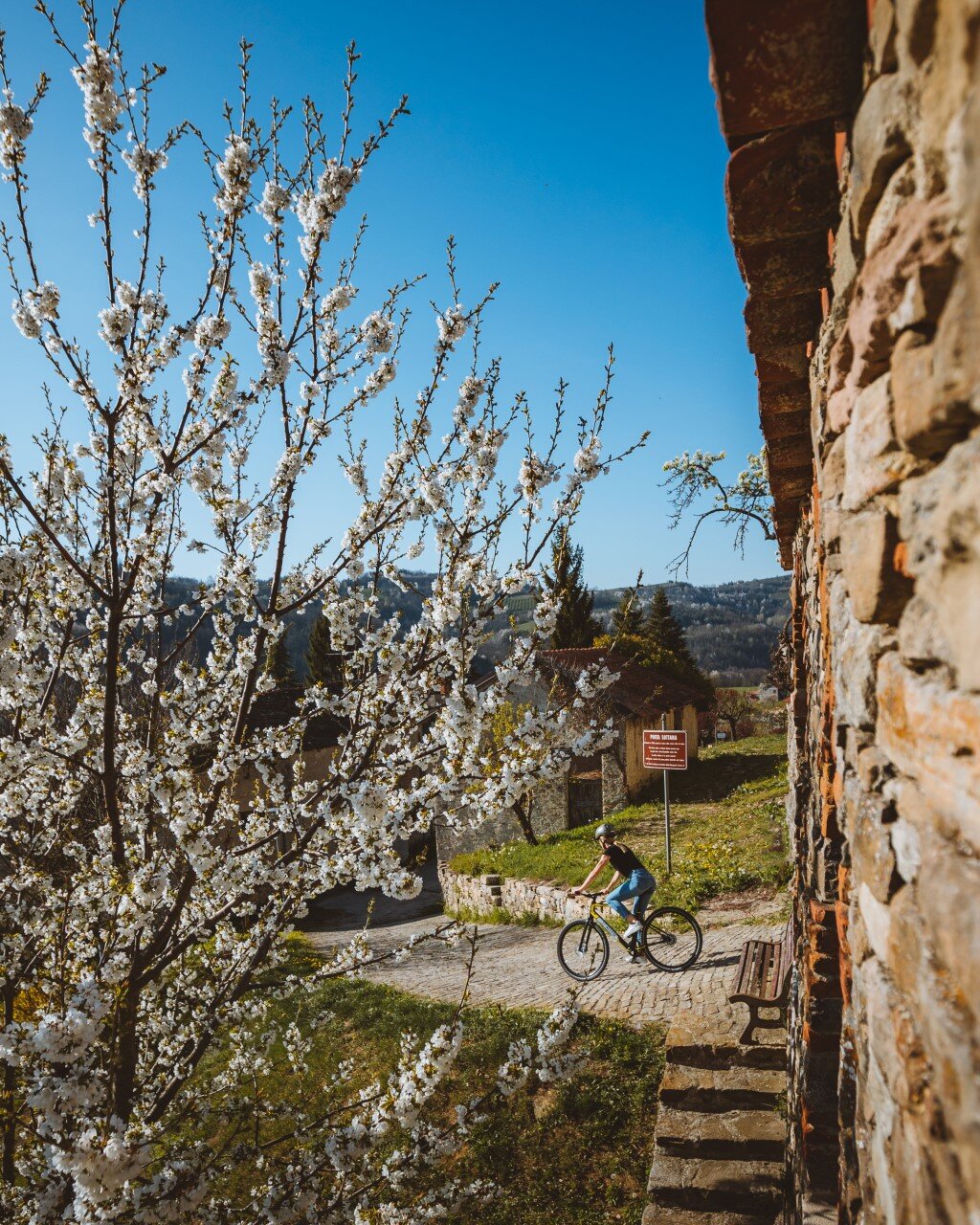
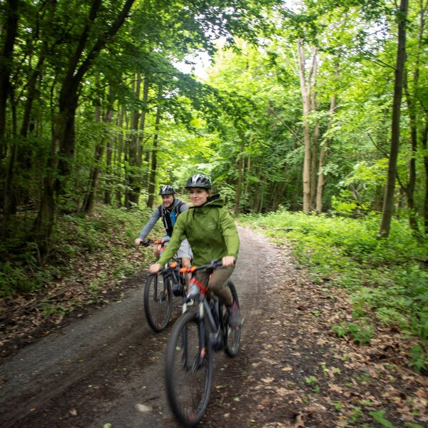
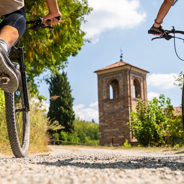
The trail starts nearby Chiesa di San Grato. The dirt road stretches to the beginning of the trail naturalistic section, which gradually goes down into a wood with coppiced chestnut groves, some scots pines and hazelnut groves. The trail descends into the wood and ends on Valunga lake banks, a large stretch of water intended for sport fishing. Here, in fact, tenches are bred, local typical freshwater fish celebrated by traditional cuisine. Going on along the trail, hikers come across the old common oven, which was once used by the village inhabitants, with a plate dated 1927. The ring ends in the small piazza of Chiesa di San Grato.
TRAIL AUDIO GUIDE: to make use of the audio guide with integrated gpx track, you can download the free app Izi.Travel on your smartphone and activate the geolocation: in this way an automatic narration will be activated in the points of interest telling stories and curiosities.
Audio guide pre-viewable also on browser by clicking here.
COVERED AREAS
DOWNLOAD
GENERAL INFORMATION
ACCESSIBILITY
Along the way:
Point of interest along the way
Frazione San Grato
12040 Cuneo
Italy
Fraz. San Grato
12040 Cuneo
Italy