MTB - Monferrato

Tour of the Five Towers on a MTB

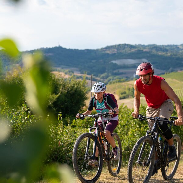
In this territory the so called “Giro delle Cinque Torri" (Tour of the Five Towers) winds its way: from the historical ring-route that takes place on the ridges of the Langa Astigiana, crossing the municipalities of Monastero Bormida, Bubbio, Loazzolo, Cessole, Vesime, San Giorgio Scarampi, Olmo Gentile and Roccaverano, it is possible to reach the UNESCO World Heritage areas to the north and the Ligurian Apennines to the south and from here the itinerary of international importance Alta Via dei Monti Liguri.

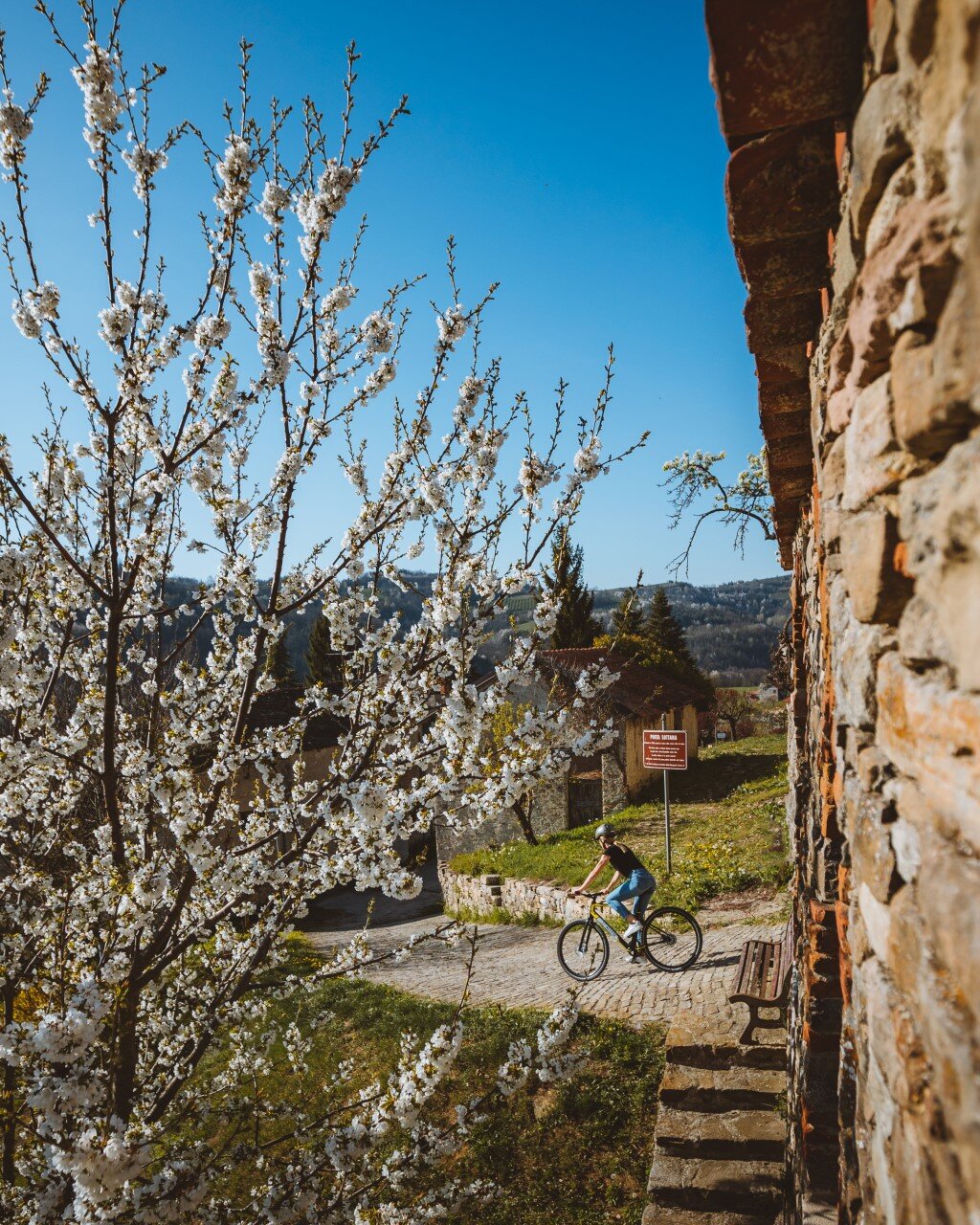
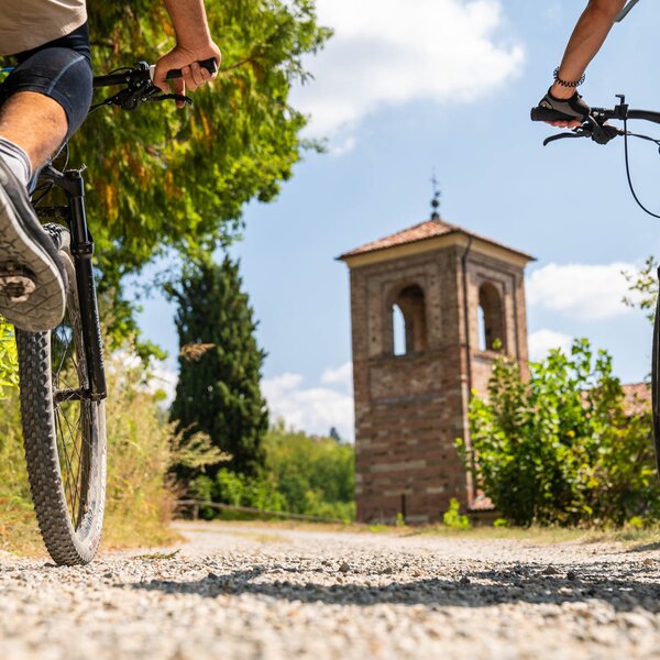
This part of the Langa still has its original characteristics: at the same time harsh and sweet, wild and cultivated, rich in history, monuments, flora and fauna. In particular, you can admire and visit the medieval towers that stand out along the way, immobile witnesses of history.

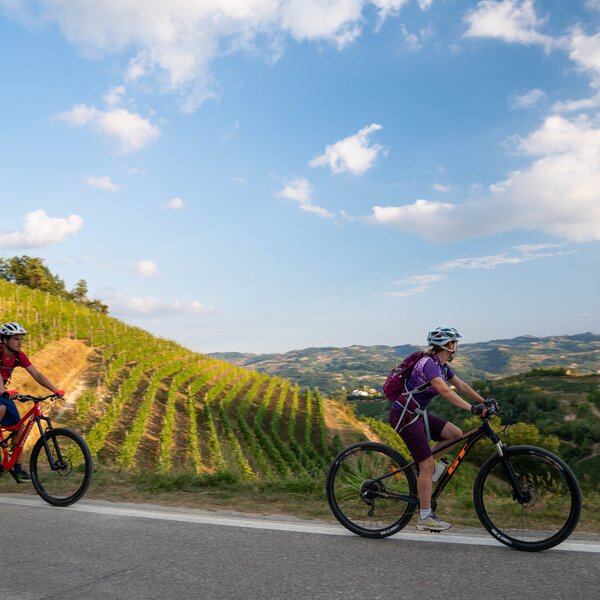
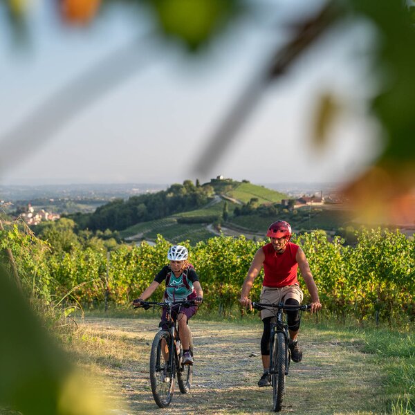
Towers, woods, vineyards and meadows characterize the heights, while down in the valley the river, sometimes slow at times impetuous, tells its stories to the poplars that accompany it. The landscape is never identical to itself, not even on the same day: lights, shadows, colours, wind, scents change. Set in a particularly evocative natural setting, sixteen villages form this territory between Piedmont and Liguria, between the plain and the Apennines, between the Langa and the sea. They are ancient villages, which in part have preserved medieval urban structures, with their castles and cloistered towers dominating the high hills, sandstone churches and rich baroque parish churches, cellars dug into the tuff and ciabots scattered around the vineyards. Here is the Langa Astigiana, the land where stone, wind and wood reign supreme.

A few lines are not enough to describe the countless riches of a territory such as the Langa Astigiana, which needs to be “lived" to be appreciated. And what better way to experience a territory than to get to know it step by step along an itinerary that will lead you to discover landscapes, villages, vineyards, gullies and especially testimonies of a past rich in history.

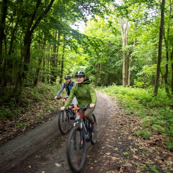
The roads are partly asphalted, white roads, cart tracks, paths in the woods and meadows; it can also be walkable by mountain bike with the exception of short stretches in the woods where you have to carry your bike on your shoulders. Clothing must be appropriate for the season: hiking boots are recommended.

COVERED AREAS

Monferrato

DOWNLOAD

GENERAL INFORMATION

Departure
Canelli
Viale Indipendenza
14053
Italy
Arrival
Merana
SP30
15018
Italy
Type of trail
Stage trail
Distanz
68.4 km
Difficulty
Intermediate
Estimated Time
18:00 hours

ACCESSIBILITY

View all stops

Along the way:

Fountains / water points along the trail
Bike Rental nearby

Point of interest along the way

Departure:
Canelli
Viale Indipendenza
14053 Asti
Italy
Arrival:
Merana
SP30
15018 Alessandria
Italy

    Suggested Itineraries

    Altitude profile

    Loading altitude profile...

    The stages of this itinerary

    Back to the main itinerary

      Suggested Itineraries

      • Trekking - Langhe
        Trekking
        Langhe
        Linear
        Partenza: Neive
        Arrivo: Neviglie
        Easy
        17 km
        3:45 hours
      • Trekking - Monferrato
        Trekking
        Monferrato
        Loop
        Partenza: Agliano Terme
        Arrivo: Agliano Terme
        Easy
        35 km
        12:00 hours
      • Monteu Roero - Sentiero dell'acqua
        MTB Touring Routes
        Roero
        Loop
        Partenza: Monteu Roero
        Arrivo: Monteu Roero
        Easy
        8.8 km
        2:30 hours
      • Trekking - Langhe
        Trekking
        Langhe
        Linear
        Partenza: Alba
        Arrivo: Alba
        Easy
        4,8 km
        1:40 hours
      • Trekking - Roero
        Trekking
        Roero
        Loop
        Partenza: Baldissero d'Alba
        Arrivo: Baldissero d'Alba
        Easy
        7 km
        3:00 hours
      • Trekking - Monferrato
        Trekking
        Monferrato
        Loop
        Partenza: Casorzo Monferrato
        Arrivo: Casorzo Monferrato
        Intermediate
        8.4 km
        2:30 hours